Daily heat records continue to be shattered across B.C.
Posted December 30, 2023 12:38 pm.
Last Updated December 30, 2023 12:39 pm.
Daily heat records continued to be broken Friday, pushing temperatures to record highs once again in regions such as Metro Vancouver, Greater Victoria, and the Sunshine Coast.
Environment Canada says Vancouver set a new record of 12.4°C, just edging out the previous record of 12.1°C set in 1998. Temperatures in West Vancouver also continued to rise, increasing by .5°C from Thursday’s 14°C.
More records were set in Victoria, at 14°C, and White Rock, at 14.3°C.
On the sunshine coast, Sechelt shattered Thursday’s daily record by almost a whole degree, at 14.6°C.
And in Whistler, temperatures remain low in comparison, but still record-breaking, reaching a new record of 5.5°C.
A total of 16 daily records were set Friday, including in Prince George, Powell River, Williams Lake, Bella Coola, Quesnel, Prince Rupert, Puntzi Mountain, Bella Bella and Agassiz.
According to World Weather Attribution, climate change fueled extreme weather in 2023, and is expected to continue to do so in 2024. While 2023 is poised to be the hottest year on record, 2024 has the potential to be even hotter, due to human-caused climate change and El Niño, the WWA states.
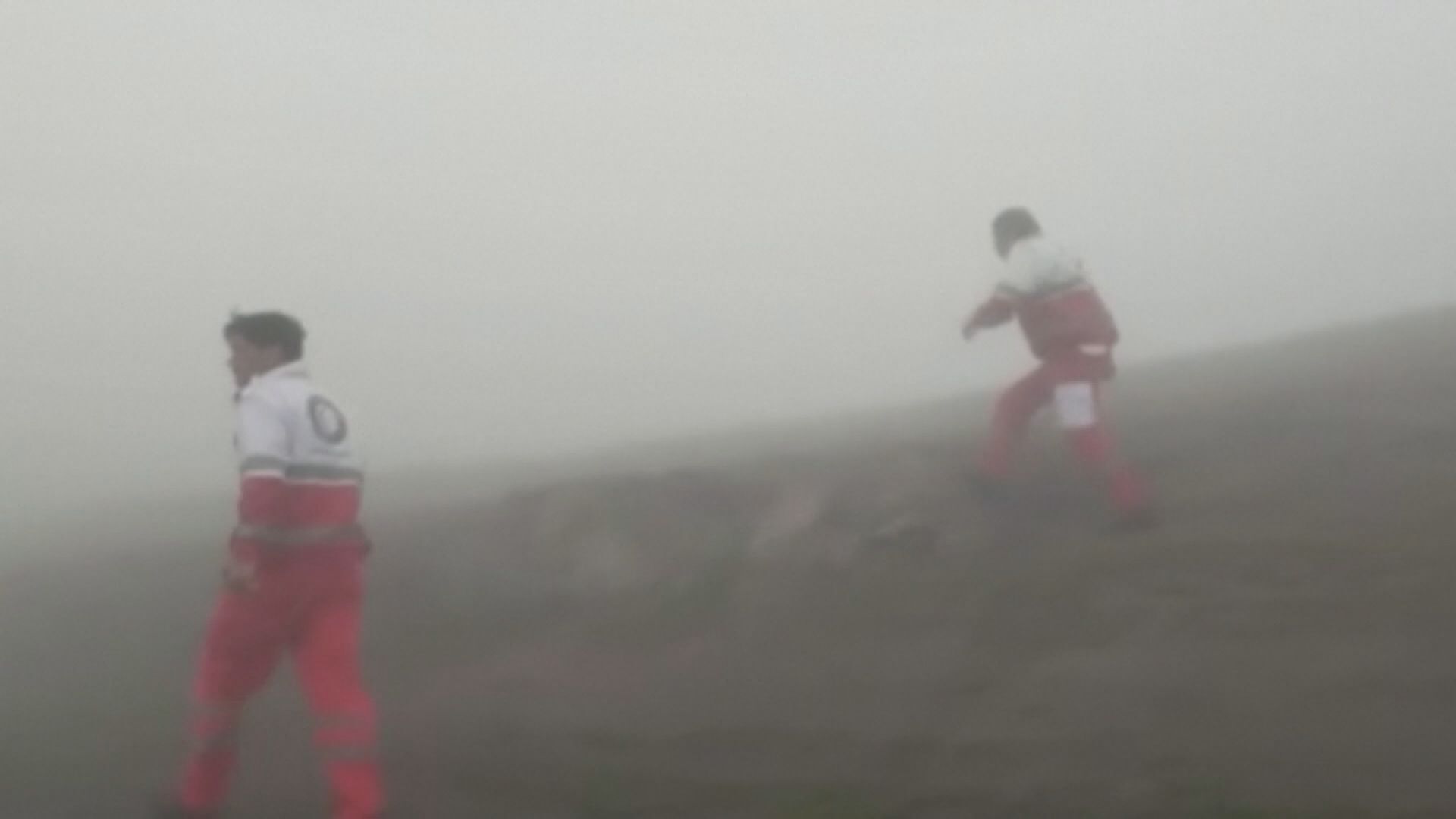
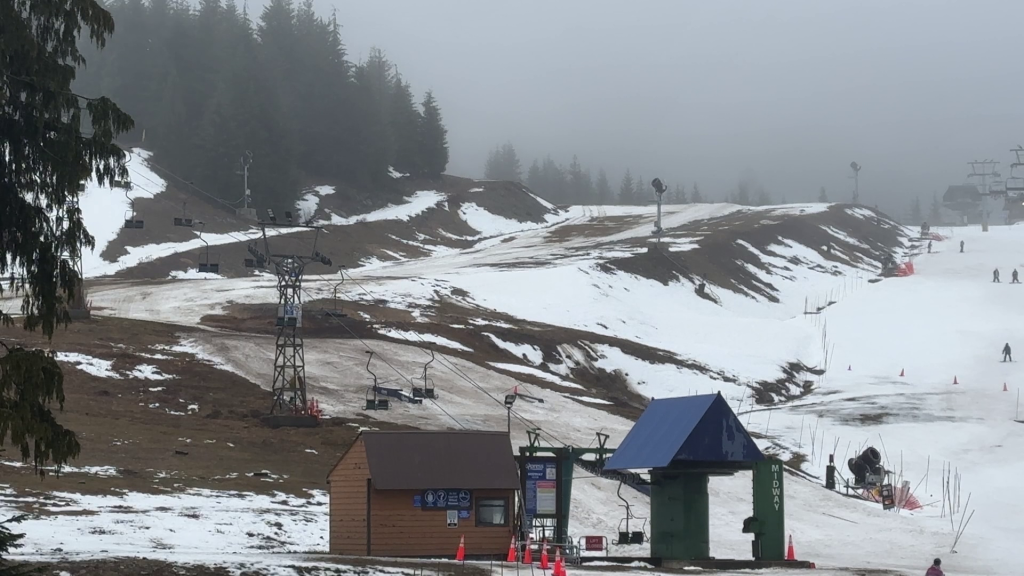
Across B.C., the impacts of the phenomenon are playing out through the province’s renowned winter activities.
On Thursday, the Whistler Blackcomb resort reported 117 of its 275 trails were open, as well as only 42 per cent of its terrain.
Warm weather has hit Metro Vancouver’s three main ski hills even harder, with Cypress and Grouse mountains operating only one or two runs each.
Mt Seymour closed entirely on Wednesday, Thursday and Friday, pending more snow.
Environment Canada meteorologist Brian Proctor says the long-term forecast calls for more seasonal temperatures to return for the first week of January, bringing potential snowfall to higher elevations in the Interior.
But Proctor says snowfall is less certain for coastal areas in coming weeks, adding that skiers and resorts should temper expectations.
“We may see potential for some snowfall,” Proctor says. “But really longer term it does look like an El Niño winter at this point in time, continuing and remaining fairly significant into the early spring.”
–With files from The Canadian Press and Hana Mae Nassar