High streamflow advisory in Metro Vancouver, Fraser Valley
Posted June 11, 2022 9:30 am.
Last Updated June 11, 2022 10:44 am.
Areas close to the Fraser River throughout Metro Vancouver and the Fraser Valley are on alert this weekend. There is a high streamflow advisory along the river from Richmond all the way out to Chilliwack.
The advisory was issued by the River Forecast Centre, which says snowmelt above the North Thompson River in central B.C. will send a “pulse” of water downstream toward the Fraser River. It says while the water level is expected to rise, no significant rain or heat is in the forecast that would produce major increases in flow through the river.
People living in low-lying areas along the Fraser River and Harrison River not protected by a dike can get sand and sandbags to be prepared.
The Fraser Valley Regional District has them available at locations in Harrison Mills and Dewdney. The sites are not staffed and people will have to bring their own shovels and fill the bags themselves.
The FVRD & District of Kent have made sand & sandbags available for residents living in areas in low-lying undiked lands along Fraser River and Harrison River. Sand and sandbags are located near Harrison Mills and Dewdney.
Find the locations: https://t.co/66ThROB7K1 pic.twitter.com/FMERAVZiSy
— Fraser Valley Regional District (@FraserValleyRD) June 10, 2022
The City of Chilliwack says staff have been in contact with people that could be impacted by high water.
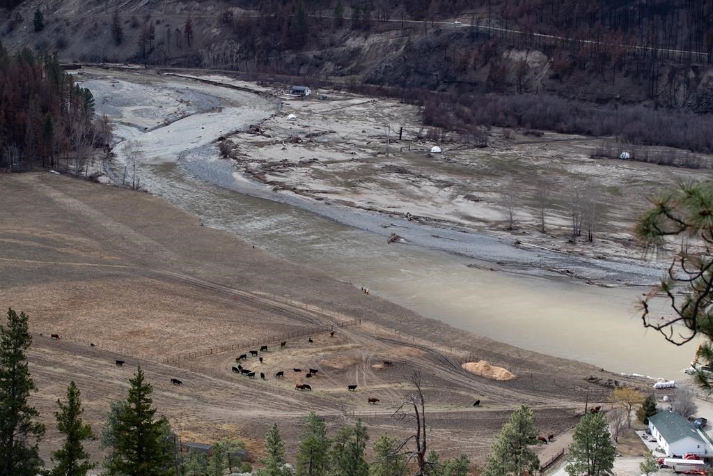
Rain from last week is still moving through reservoirs, prompting a high streamflow advisory for the Nicola River, the same river that was flooded last November, washing away large sections of Highway 8 and stranding communities.
Related article: Emergency preparedness ministers say a national flood insurance program is needed
The centre says although long-term water monitoring sites were destroyed on the river during last November’s historic flooding, it is likely the pulse of water will increase flows downstream. However, significant rainfall is not currently forecast for the region.
The centre is advising the public to stay clear of fast-moving rivers and potentially unstable riverbanks during the high-streamflow period.
A flood watch has been issued for areas farther north, including Williams Lake and beyond.
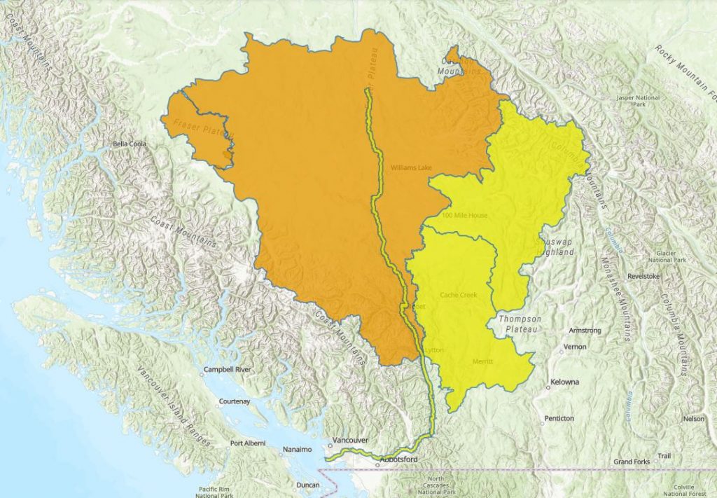
(Courtesy: BC River Forecast Centre)
Earlier this week, the River Forecast Centre said snow levels were unusually high, given the cooler weather we’ve been having, adding the conditions are “something that we see once every decade or so.”
A provincial state of emergency was declared last fall after storms washed away highways, flooded communities in the Interior and the Fraser Valley. Five people were killed when they were caught in mudslides during the so-called atmospheric rivers.
At one point, the catastrophic flooding closed all routes connecting the Lower Mainland with the rest of Canada. The only way to drive in or out was to drive south into the U.S. and around the slides.


