Heavy rain in parts of B.C. a concern for flood-prone areas: River Forecast Centre
Posted June 19, 2022 6:42 pm.
Last Updated June 19, 2022 10:11 pm.
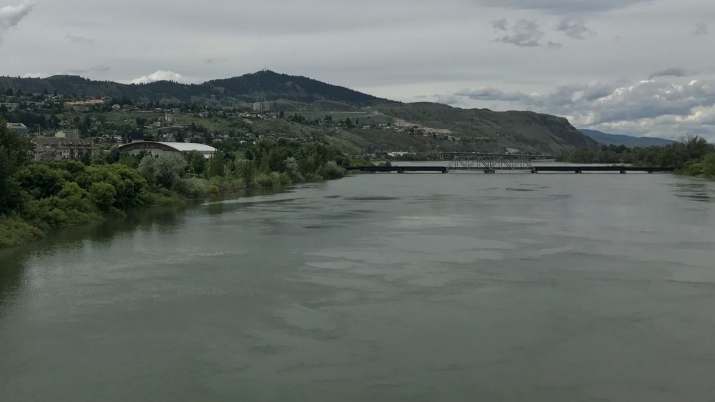
A flood watch has been issued for the South Thompson River in B.C., where a forecast calling for long-lasting rain means swollen waterways could overflow and cause flooding in some areas.
The River Forecast Centre says rainfall beginning late Tuesday to Wednesday is a major concern for the headwaters of the North and South Thompson rivers and the Cariboo mountains.
It says widespread heavy rainfall would have rivers reaching their highest levels of the season, possibly causing significant flooding.
The centre says water levels in the North Thompson River at McLure are receding slowly but modelling predicts they could reach high levels later this week, and that’s also the case for the Shuswap River near Enderby.

A flood watch has been issued for the south Thompson River in British Columbia, where a forecast calling for long-lasting rain means swollen waterways could overflow and cause flooding in some areas. (Photo credit: River Forecast Centre)
Water levels in the Quesnel River have been rising slowly, and the centre says higher flows would depend on the amount of rainfall this week.
It is maintaining a flood watch for areas of the Shuswap region while a high streamflow advisory remains in place for the Thompson River from Kamloops to Spences Bridge and the Nicola River, meaning minor flooding in low-lying areas is possible.
“If widespread heavy rainfall occurs, rivers will reach the highest level of the season and it’s possible for significant flooding to occur,” says the River Forecast Centre.
The Shuswap Emergency Program activated their Emergency Operations Centre to help with potential flood concerns in the area.
Anyone wanting to know current Shuswap Lake levels can follow here.