Another atmospheric river set to hit B.C. South Coast
Posted November 2, 2022 12:16 pm.
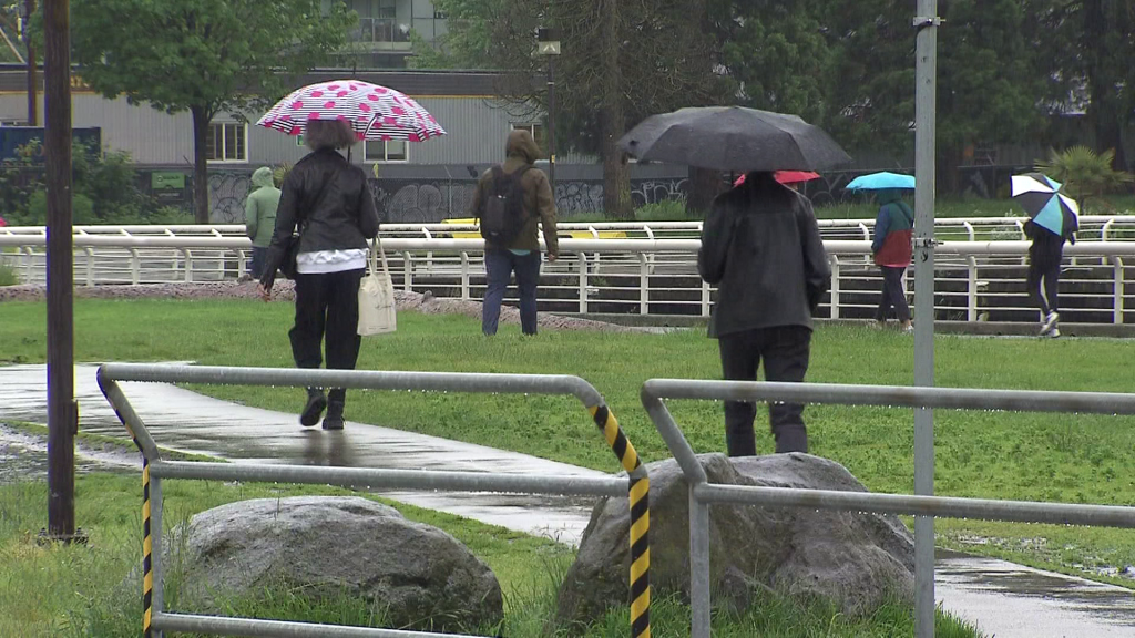
Following a couple of sunny days, British Columbia’s South Coast is set to be hit by a third atmospheric river in the span of a week.
CityNews Meteorologist Michael Kuss says Thursday will see cold, rainy conditions in the area.
“Rain comes in for the afternoon, really picks up in the evening and overnight with the temperature just to six degrees,” he said.
Related Stories:
-
UGM’s Vancouver shelter hitting capacity ahead of winter months
-
First of two fall storms cuts power to more than 89,000 BC Hydro customers
-
Several B.C. regions still under drought level after heavy rain
Mountains on the North Shore and up to Whistler will see some snow as part of the weather system, Kuss adds.
“There will be snow over mountain passes too, so not a great day for travelling,” he said.
Environment and Climate Change Canada (ECCC) has issued a special weather statement for the southwest corner of the mainland, along with eastern Vancouver Island.
The weather agency says the South Coast will get between 30 and 70 millimetres of rain with winds of up to 80 kilometres per hour, beginning Thursday night.
In the mountains, the Sea to Sky highway from Squamish to Whistler is set to get between 10 and 20 centimetres of snow, ECCC says.
Last week, thousands lost power during a storm on Oct. 27, with a second atmospheric river soaking the region on Sunday.
B.C. saw warmer, drier than usual October
As we move into November, ECCC’s weather data shows October saw above-normal temperatures across the entire province.
The weather agency notes 23 regions experienced temperatures above average during the month.
Additionally, all but six of those 23 regions saw rainfall levels below average for the year.
From hot & dry right into fall storms, how did October stack up in the end? Here's a summary of BC's October 2022 temperature and precipitation statistics. #BCstorm pic.twitter.com/bzbVMziKSm
— ECCC Weather British Columbia (@ECCCWeatherBC) November 1, 2022
Data recorded at YVR shows the Metro Vancouver area received 72 per cent of its normal rainfall for October, with an average temperature nearly two degrees higher than usual.
The dry, warm conditions have led to high drought levels across the Lower Mainland, Sunshine Coast, and Vancouver Island, which still persist.
With files from Robyn Crawford.