Expert warns of erosion, debris torrents, as storm hits southern coast of B.C.
Posted September 24, 2023 7:09 pm.
Last Updated September 24, 2023 7:16 pm.
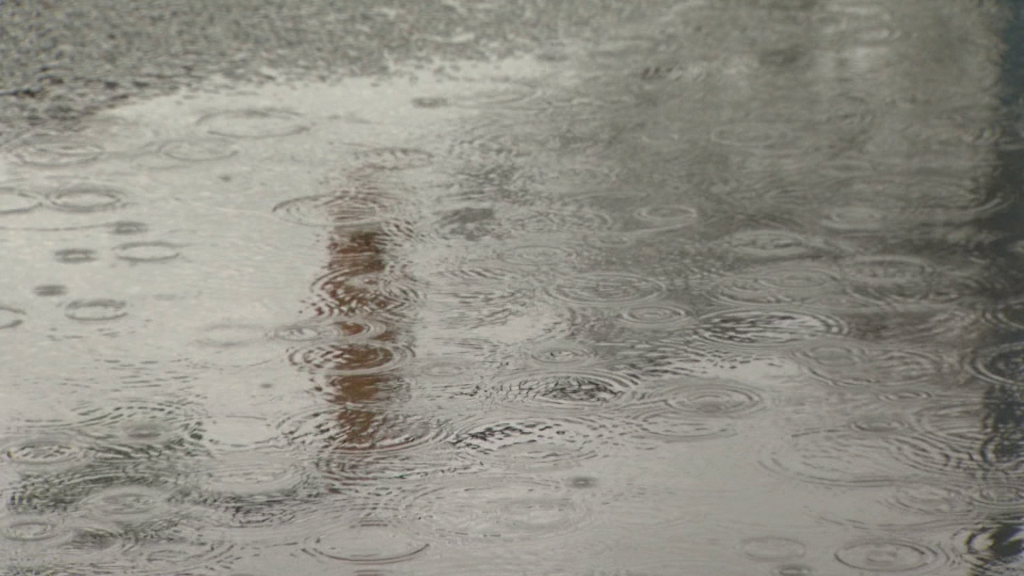
The first big storm of the rainy season is arriving on B.C.’s southern coast Sunday evening, creating what Environment Canada is calling a “bomb cyclone” — a rapidly strengthening storm with a low pressure centre.
John Richardson, a professor in the department of forestry at the University of British Columbia, told CityNews this one storm could dump more than the average amount of rain for September on B.C.’s south coast over just a few days.
Special weather statements are currently in place for Metro Vancouver, and weather warnings are in place across Vancouver Island for rain and wind.
Rainfall amounts ranging from 25 to 65 millimetres are forecast by environment Canada, which Richardson says could lead to localized flooding.
The province’s parched soil will have a hard time absorbing the influx of participation, he says, due to drought conditions and fire activity making them more hydrophobic, or water-resistant.
“A lot of the forests have been incredibly dry and the soils are very resistant to water soaking in,” he said. “Generally, water’s going to run off very quickly into streams, wetlands and lakes.”
Intense run-off, coupled with the dry conditions and strong winds, will create some dangerous conditions along the southern coast.
Environment Canada has issued warnings of up to 70 kilometres per hour for parts of Vancouver Island.
Related Articles:
-
Strong storm system to hit B.C.’s southern coast Sunday: Ministry
-
What’s in the forecast for Metro Vancouver’s fall and winter?
-
Northern lights dance above Metro Vancouver
As rainfall and wind speeds pick up, so will erosion, Richardson said.
“Many of the things that have accumulated in streams and stream banks like branches and leaves, will all of the sudden get mobilized and flushed downstream and that leads to really high rates of erosion,” he said.
“When you get water coupled with lots of materials that are available to move, you can end up with what’s called a debris flow or a debris avalanche.”
Richardson says trees on river banks, especially on steep slopes, would normally act as anchors and prevent much of the bank from being washed away. However, dry conditions and strong winds mean these anchors are more likely to join the debris torrent during this storm.
“Trees that are stressed have probably lost some of their root strength and that means that they will easily fall over and may not hold together the stream banks as well,” he said.
Despite the high risk conditions, Richardson says this storm won’t reach the same intensity as the November 2021 floods.
“In 2021, 180 millimetres of rain fell in one day. Now, we’re expecting less rain over a greater timespan, and unlike in 2021, soils are not already waterlogged,” he said.
While this storm will largely target B.C.’s southern coast, Richardson says in general, B.C. is in an El Niño period now and can expect the intensity of storms to increase.
He also says, due to climate change, this type of storm isn’t going away anytime soon.
“With climate change, we do expect these atmospheric rivers to become more and more common, and intense,” he said.
“Atmospheric river isn’t a term that was used five years ago… It’s really emblematic of the intensity of storms that we’re starting to see.”
Moving forward, Richardson says people should stop thinking in terms of long-term averages, because they’re no longer as meaningful.
“In a goldilocks world we like to have averages, but the reality is, things are becoming extreme,” he said. “And the more extreme they are, the harder they are to deal with.”