Vancouver could see snow during cold snap
Posted January 4, 2024 2:37 pm.
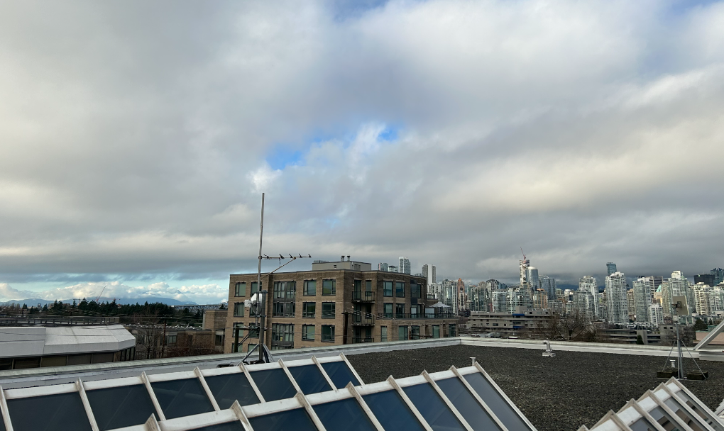
It’s been unseasonably warm around the Lower Mainland, but things are about to change, with cooler temperatures arriving.
CityNews Meteorologist Michael Kuss says despite December seeing an average temperature of 7°C — tying that month for the warmest on-record at YVR — winter weather will finally reach B.C.
He says the first longer-lasting blast of cold is set to blanket the region beginning this weekend and lasting through next week.
“Arctic air starts to plunge down from the north but I am expecting sun both Saturday and Sunday, with a sub-zero morning low on Sunday, down to -1°C or -2°C under the clear sky,” he said Thursday morning.
Kuss says wet weather returns on Monday, kicking off a week of lower temperatures.
“Monday’s a little up in the air, so temperatures are going to be in that 3°C to 5°C range. It does look like it will be a rain event across the Lower Mainland, but the rain-snow line is going to be down pretty low, and close to some upper-elevation neighbourhoods,” he explained.
“Later in the week, there’s a greater chance for snow across the area, right down to sea level. That’s Wednesday into Thursday.”
He notes snow was already falling on some of the North Shore mountains Thursday, with the freezing level around 1,000 metres as of 5 a.m.
The warmer-than-seasonal temperatures to start the winter season have done a real number on local ski hills, with the North Shore mountains, Whistler, and other resorts in B.C. struggling with a lack of snow.
With cold air coming, Kuss says there’s still hope for skiers and riders that this season won’t be a total write-off.
Listen to CityNews 1130 for weather updates every 10 minutes after traffic on the ones. You can also follow Meteorologist Michael Kuss on X and subscribe to breaking news alerts sent directly to your inbox.