‘First shot at winter’ hitting the South Coast this week: meteorologist
Posted January 6, 2024 2:28 pm.
Snow and cold arctic air are in the forecast this week, with the first flakes expected to fall in Metro Vancouver on Sunday night.
Ross Macdonald, a meteorologist with Environment Canada, says frosty temperatures expected to creep into the Lower Mainland Sunday night could last until next weekend.
“We’re going to start to see a cooler and colder pattern emerge as we move through the week,” he said. “It’ll start likely as some snow around the city here, and then transition to rain by later Monday morning.”
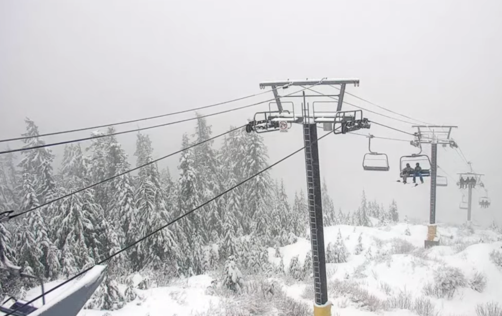
He adds places situated at a higher elevation, like Simon Fraser University, the North Shore Mountains and Coquitlam mountains, have a higher chance of seeing snow stick around a little longer during the week.
“We won’t see too much around the Lower Mainland, but it’s going to be a decent storm for the North Shore Mountains,” he said.
Right now, Macdonald says predictions are being made for between 30 to 60 centimetres of snow in the North Shore Mountains.
Despite being in an El Niño pattern, which generally brings warmer temperatures with it, Macdonald says occasional cold air masses like this are still expected periodically.
The most frigid temperatures aren’t slated to hit until later in the week, he adds, when highs of 0 C and -1 C are in the forecast.
“That’s another opportunity for snow here in Metro Vancouver,” Macdonald said.
“Once that front goes through, we’re going to be left with fairly cold arctic air in place. So, a real first shot at winter for the South Coast.”
-With files from Angela Bower