Upcoming temperature increase not flooding concern, for now: expert

Posted January 18, 2024 6:03 pm.
Last Updated January 18, 2024 6:08 pm.
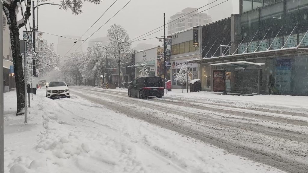
One expert says incoming warmer temperatures in Vancouver aren’t a reason to be concerned about rising river levels.
Dave Campbell with the BC River Forecast Centre says he’s more concerned about localized, urban drainage spots clogging up with ice or melting snow piles, than overflowing rivers.
“It’s certainly going to be a strong transition from the very cold weather we’ve had over the last week,” Campbell said.
“(But) it’s not necessarily going to be the type of strong atmospheric river with temperatures up to the double digits. We’re not expecting that.”
Environment Canada is forecasting daily highs between 5 C and 9 C over the next week.
Campbell says the “measured” snow melt that will occur during these temperatures is more likely to impact the roads more than anything, due to clogged drains.
However, Campbell says he is expecting a significant shift in general weather patterns in Vancouver, from a fairly dry winter to a very wet one.
“We’re also tracking the potential for a little bit more of a heavy rainfall event later next week,” he said.
“So that’s potentially a period where we could see some more organized rainfall, but it’s a bit long out at this point to get a firm grasp on it.”
In terms of building up the snowpack on the mountains, Campbell says enough snow hasn’t fallen yet to make up for the lack of snowfall in November and December.
“We aren’t necessarily making huge leaps in terms of recovering some of that deficit that we saw in Jan. 1, but it’s certainly a step in the right direction and quite different than that really prolonged, drier and warmer trend that we had seen,” he said.
But for Feb. 1, he says his perspective is positive and snowpack levels will be on the rise by then, and on their way to a steady recovery.
In the coming days, Campbell says he’s warning people to stay off rivers or lakes that appear frozen since the strength of that ice is going to deteriorate in the coming days.
Otherwise, most upcoming major weather events are still too far out to predict, he says, and all the centre can do right now is monitor the conditions.
“For the most part, we’re continuing to monitor the weather and, at some point, we’ll transition to thinking about the snowpack and what that might mean for spring runoff,” he said. “But we’re still a few months out from that at this point.”
–With files from Cole Schisler


