B.C. snowpack 2nd lowest on record: officials
Posted March 8, 2024 12:02 pm.
Despite recent snowfall across parts of B.C., the province’s snowpack is still 66 per cent of normal.
According to the BC River Forecast Centre, this is the second lowest the snowpack has ever been at this time of year, further adding to concerns about what this could mean for the warmer months.
David Campbell, the head of the River Forecast Centre, says this year ties with what B.C. saw over two decades ago.
“In terms of historical context, this is tied for the second-lowest provincial March 1st snowpack that we’ve seen. The historic low was in 1977 where we had 53 per cent of normal. And then we saw in 2001 similar to what we have right now — 66 per cent,” he said Friday.
“We see very low snowpacks of below about 60 per cent of normal, including the Upper Fraser East — so areas east of Prince George — and then really coastal areas — the Central Coast, the South Coast, Vancouver Island, and the Skagit Valley.”
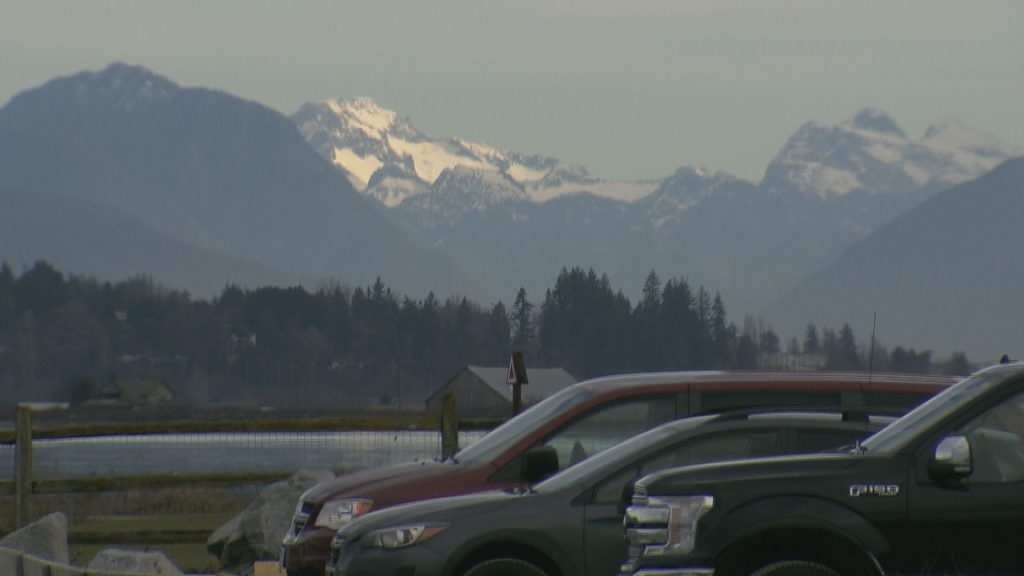
The snowpack on the South Coast, which includes Metro Vancouver and the Fraser Valley, is currently 40 per cent of normal, an all-time record low for March 1.
Campbell says the current situation raises the risk of drought in the months ahead but notes conditions could change as we head into the summer.
“Really, going forward, we continue to look at other factors that are also playing a role with drought, including how does the rest of the season shape up in terms of snow, and how does that melt? And what is the weather as we go through the spring and summer. Those are all as equally important factors for drought,” he explained.
