Unseasonal dry heat fueling wildfires across B.C.

Posted October 3, 2022 7:14 am.
Last Updated October 3, 2022 1:46 pm.
It’s the beginning of October but it feels a lot more like August for the Lower Mainland.
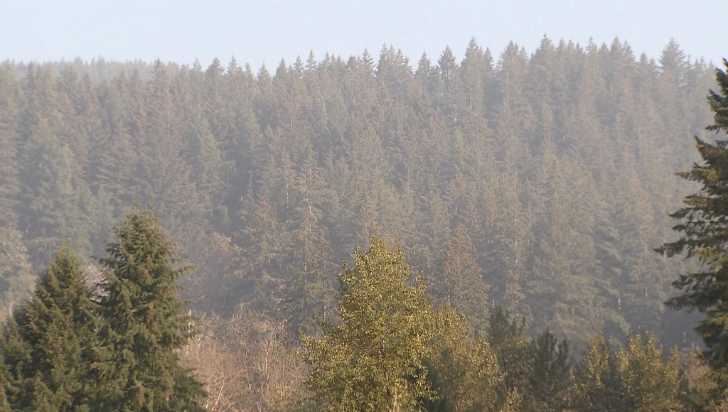
It is hot, it is very dry and some areas are dealing with smoky conditions from wildfires, including one in Minnekhada Regional Park in Coquitlam.
Crews have been dealing with what is described as steep and challenging terrain.
As of Monday morning, the BC Wildfire Service says the fire covers more than 11 hectares and has it listed as “out-of-control.”
Human activity is the suspected cause.
Related Articles:
-
Wildfire ignites in Coquitlam
-
BC Wildfire Service warns season not yet over, Coquitlam park still ablaze
-
Report warns of financial fallout from climate change in Canada
But it’s not just the Minnekhada fire sending smoke to the Lower Mainland.
“Wildfire smoke filtered in again yesterday, you could smell it in the air, and we’ll see that on and off over the next couple of days,” says meteorologist Michael Kuss in the Penfolds Roofing and Solar Weather Centre. “There’s no precipitation expected and, as fires continue to burn around Manning Park and especially down in the Cascades, anytime we see that easterly or southeasterly wind pattern, you will smell the smoke and we will see a deterioration of the air quality, too.”
The smoke and extended wildfire season are no surprise given the hot, dry conditions across much of the province.
Data from Environment Canada shows a series of high-temperature records fell across B.C. over the weekend in communities from Vancouver Island to the Interior.
And B.C.’s drought map shows all of Vancouver Island, the Lower Mainland and the Sunshine Coast along with the Fort Nelson Basin in the northeast dealing with the second-most-severe level of drought on the province’s five-point scale.
“We are coming off the driest September in 10 years, with only seven millimetres for the month recorded at YVR. We had five millimetres in 2012 and the normal is 51 millimetres. Last September, by comparison, we had 155 millimetres of precipitation,” says Kuss.
“Even though we are now into October, this summertime weather pattern remains locked in place — high pressure across BC, into Alberta and then stretching all the way down the California coast. I don’t see this pattern breaking at least for the next seven-plus days.”


