Lower Mainland heatwave brings higher summer temperatures on solstice
Posted June 21, 2021 6:50 am.
Last Updated June 21, 2021 6:51 am.
This article is more than 5 years old.
VANCOUVER (NEWS 1130) – Get ready for more hot, sunny days ahead.
The Metro Vancouver region is kicking off the summer season with high temperatures and a special weather statement, which lays out a mini heatwave.
Forecasters says temperatures will be five to 10 degrees above normal on Monday, and into the 30s for some areas away from the shore.
The heat is also setting up a continued dry pattern, though we’re not in dangerous territory yet.
“It has been a drier than normal spring across the South Coast, but not record breaking. We’re about 50 per cent of the normal amount of precipitation through the season,” says NEWS 1130 Meteorologist Michael Kuss, adding as we head into the early parts of summer, there’s not a lot of precipitation in the pattern. “It’s really setting up for a long, dry, early summer season.”
Michael says the situation is a bit more concerning in the Southern Interior and Interior regions, where conditions are a much drier, especially the Thompson-Okanagan.
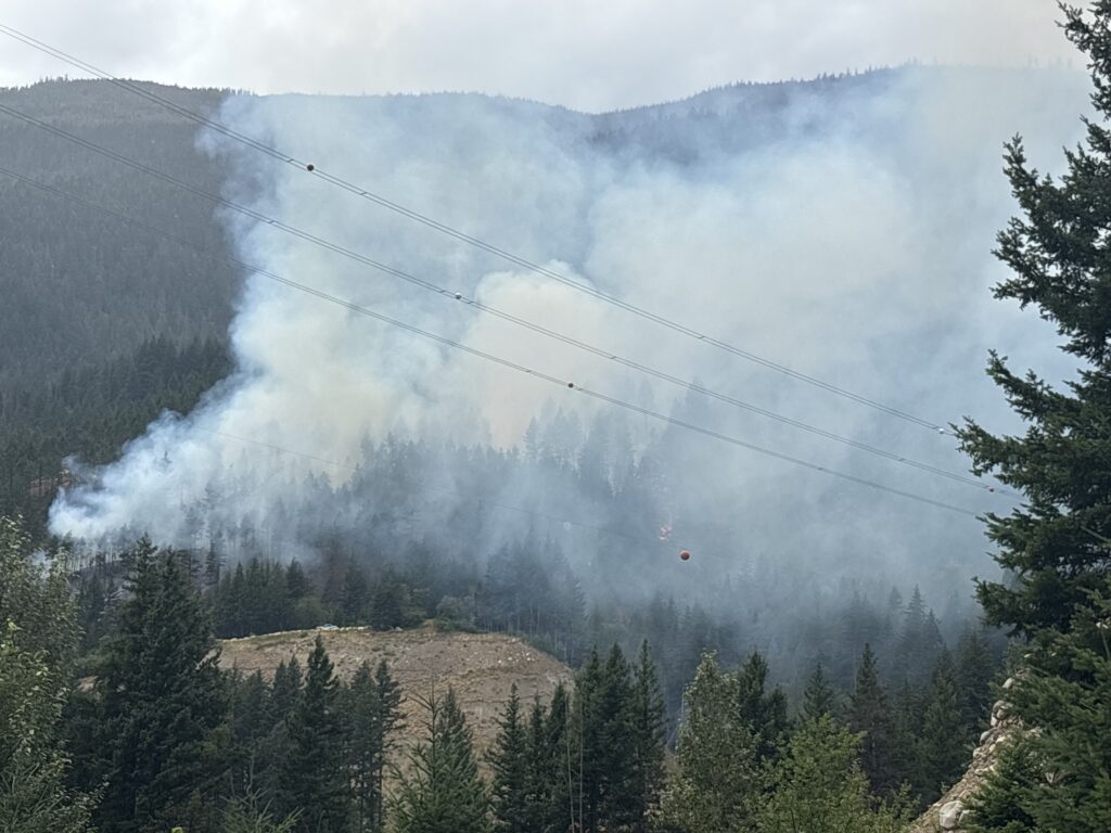
B.C.’s first wildfire of note this season continues to burn south of Lytton in the Fraser Canyon. The George Road wildfire is considered out of control, and is scattered across steep and rocky terrain, according to the BC Wildfire Service.
Back on the South Coast, he notes there’s little rain to look forward to in the coming two weeks.
“Next to nothing at all.”
Temperatures are expected to cool slightly late Tuesday, but are forecast to once again climb on Thursday, lasting well into the weekend.