Tornado watch latest example of ‘more active, more dynamic, more severe’ weather in B.C.
Posted November 7, 2021 1:15 pm.
Last Updated November 8, 2021 5:44 am.
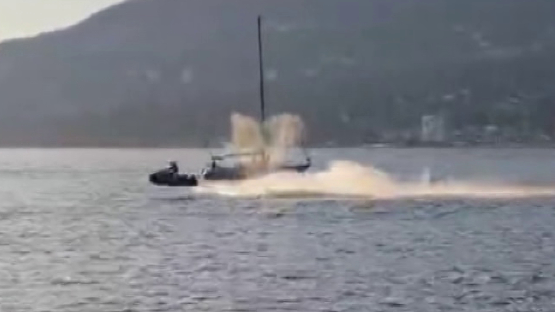
Heat dome. Atmospheric river. Bomb Cyclone. Water spout. British Columbia has been hit with a series of rare, dramatic weather events in quick succession since summer.
CityNews Meteorologist Michael Kuss says even though Saturday’s tornado watch in part of Metro Vancouver was quickly lifted, it came amid a months-long stretch of special weather statements and warnings that signal a troubling trend.
“If you go all the way back to the heat dome, it is an unprecedented pattern within the last couple of 100 years that we’ve been keeping accurate records. That’s a long time in the scope of our weather picture,” he explains.
“We’re starting to see things changing. The weather is becoming more dramatic, more dynamic, more active, more severe, and more variable. Our cold weather is colder, our warm weather events are warmer, our active weather periods are more dramatic.”
While any one of these recent events would be noteworthy, they become all the more concerning when looked at as a whole, according to Kuss.
“When you look at the big picture, that’s when we’re concerned because we’re seeing these things in relatively rapid succession, all these events. You take one of the events [in isolation], and that’s pretty serious weather. But when you add all of these things up, that’s where the concern comes in. That’s when we start really looking at climate change, our impact, and how things are developing and evolving so rapidly,” he says.
Along with heavy rains, whipping winds, and significant storms, Kuss says there has been a noticeable lack of sunlight this fall.
“It has been so grey, it’s been so gloomy. Once in the last month and a half, we had three days in a row where we had sunshine. That was the only time. There’s been so little light, and now that we’re through the time change and the afternoons are dark already — it’s tough.”
Looking ahead to winter, Kuss says we need to remember we’re in a “developing La Niña year,” and that means more precipitation overall.
RELATED:
-
UN report comes amid B.C.’s ‘summer of reckoning’ with climate change: advocate
-
Downed trees, trolley lines result in road closure on UBC campus
-
Metro Vancouver tornado watch lifted
“That doesn’t necessarily mean that we are going to see more snow because it’s so temperature-dependent. But the potential is there for more snow in the mountains especially, more rain events like we’ve experienced lately, and more active weather that we’ve already seen,” he explains.
“This is an exceptional year so far, and it doesn’t look like it’s going to change.”
Aside from hunkering down and staying cozy inside when possible, Kuss says being prepared is key.
“Get your car winter-ready and that doesn’t only mean have your winter tires on — which is a must if you’re travelling over the mountain passes, and even around the city. Have a winter-ready kit in your car, the blanket, the cables, water if you need it, because you never know if you’re going to get caught out somewhere.”
An emergency kit for your home is also recommended.
A special weather statement remains in effect for Metro Vancouver due to the potential for strong winds Monday and Tuesday.
Listen live for traffic and weather every ten minutes on the ones, or follow Michael Kuss on Twitter.


