B.C. heat warning ends, flood and fire situation stable
Posted June 28, 2022 7:56 am.
Last Updated June 28, 2022 11:31 am.
After a series of days of high heat in most of B.C., the weather warnings have ended.
As of Tuesday, Metro Vancouver, the Fraser Valley, Vancouver Island, and northern B.C. have cooled down, and Environment and Climate Change Canada has lifted its public alert.
It comes after temperatures hit 33 degrees Celsius in parts of the south coast, the hottest weekend of the year so far.
Meteorologist Michael Kuss says the temperature at the Vancouver International Airport on Monday hit a high of 26.2 degrees Celsius, and was warmer away from the water.
Kuss has forecast rain for Tuesday afternoon.
Windy morning around Vancouver.cooler too. Rain coming no earlier than about 5 PM. Highs near 22 degrees. @CityNewsVAN pic.twitter.com/YFbJzd2UZh
— Michael Kuss (@Kusswx) June 28, 2022
“We’re seeing a more coastal flow wrapping around and offshore low and that’s going to be the case for the day today,” Kuss said.
“We are going to see a bit of a tricky one today,” he adds, explaining the wind will bring the cooler air.
However, while the heat may be behind us for the next few days at least, a severe thunderstorm watch remains for 100 Mile, Arrow Lakes, the Cariboo, East Kootenay, Stuart -Nechako, North Thompson, Okanagan Valley, and Shuswap.

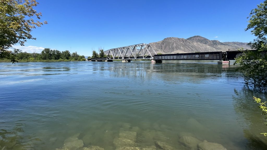
Kamloops remains under a flood watch as of June 28, 2022 due to the Thompson River. (Chad Harris, CityNews Image)
While thunderstorms, combined with bone-dry conditions, have led to destructive wildfires in the past, the fire danger rating remains low to moderate for those areas. There are also no campfire bans in effect for any region in B.C., following an unseasonably cold and wet spring.

BC Wildfire Service says the risks of large fires remains low, and has not introduced a burn ban on campfires as of June 28, 2022. (Courtesy: BC Wildfire Service)
The conditions delayed the snowmelt, prompting officials to be concerned that the recent heat could exacerbate the flood situation.
Many rivers and lakes north of Kelowna were rising in recent days, prompting the BC River Forecast Centre to issue a flood watch for parts of the region.
Related Articles:
-
The cost of your summer vacation is going up
-
What’s changed in B.C.’s emergency response one year after the heat dome?
-
Busy summer weekend for North Shore search and rescue crews
While that has not been upgraded to a flood warning, experts say many creeks and rivers remain at capacity and are vulnerable to additional run-off, especially from rainfall.
Flood warnings remain in place for the Quesnel River, while flood watches are up for the Thompson and South Thompson rivers.
Closer to the coast, a high streamflow advisory remains in place for the lower Fraser River, which includes the Fraser Valley, Hope, through to the ocean.
The BC River Forecast Centre suggests flows will drop early this week, and rise later in the week, and it is estimated that the Mission Gauge will hit the 5.8 m to 6.1 m range by Canada Day.

FILE – The South Thompson River in Kamloops, B.C. (Chad Harris / CityNews Image)
“Snowmelt at automated snow weather stations has been rapid, with two-thirds of the annual snow accumulation now melted. Flows on the Fraser River are anticipated to remain well above normal for this time of year over the next several weeks. Over the next week or so in particular, risks for rising flows will mostly be driven by rainfall on top of already high river levels from snowmelt runoff,” the ministry of forests wrote in its advisory.
With files from The Canadian Press