South Coast to be hit with third atmospheric river in a week
Posted November 3, 2022 7:20 am.
Last Updated November 3, 2022 7:54 am.
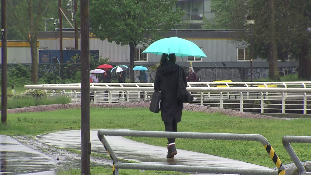
If you’re still drying out from the region’s last two storms, get ready for a couple of soggy days.
Yet another atmospheric river is in the forecast which will bring lots of rain, wind, and snow in some areas.
CityNews Vancouver Meteorologist Michael Kuss says this storm is different from the other two we just dealt with.
“This isn’t just another rainstorm, it’s almost a winter-time set-up with the flow coming in from the northwest, keeping temperatures in the mid-single digits and that means the snow level is coming down to about 800 metres it looks like, potentially, over the next 24 hours. We’re talking about 30-60 millimetres of rain in that stretch with snow over those higher terrains.”
Related Articles:
-
Fraser Valley farmers concerned about upcoming rainy season
-
Another atmospheric river set to hit B.C. South Coast
-
Several B.C. regions still under drought level after heavy rain
Those higher terrains include the North Shore mountains and Kuss says things will get slushy at SFU, before the temperature rises again, and it melts away.
“There’s no risk of snow around Metro Vancouver or out to the Fraser Valley but up in the higher terrains — the mountain passes could see 15 centimetres to 20 centimetres of snow, even Whistler could get that much over the next 36 hours before the system exits later in the day on Friday.”
He says the wind that’s about to hit is going to be frigid.
“We’re into a cooler weather pattern as arctic air is dropping down across eastern and northeastern B.C. and that’s pushing that air back toward the coast, mixing in with the Pacific moisture and that means snow over the mountain passes and up around Whistler. This is our first really wintery blast and we’re expecting to see a lot of cold air rain, that’s for sure.”
In response to the storm, the City of Vancouver is opening up additional shelter spaces and a warming centre, which it says, will remain open until Monday.
Please share: Additional shelter spaces and a warming centre are available tonight through Monday, November 7, due to an Extreme Weather Alert.
Details pic.twitter.com/FAE8KUnkZo
— City of Vancouver (@CityofVancouver) November 2, 2022
Metro Vancouver isn’t the only one being hit by this storm. Heavy rain and strong winds are also expected for the Howe Sound, Sunshine Coast, Southern Gulf Islands, and parts of Vancouver Island, including Victoria.
Overall, things should taper off by Friday afternoon.
All the storms we’ve had has kept B.C. Hydro crews really busy.
Related Video:
“We are expecting to see some significant rain in different parts of the province, so we have been making sure that we have crews ramped up as well as our contractor crews in the areas where we know it could potentially be the hardest hit,” explains the utility’s Mora Scott.
Listen live to CityNews 1130 every 10 minutes on the ones for any major weather updates. You can also follow us on Twitter @CityNewsTraffic or subscribe to breaking news alerts sent directly to your inbox.


