Mini heatwave set to hit the Lower Mainland this weekend
Posted May 10, 2023 7:11 am.
Last Updated May 10, 2023 9:21 am.
For anyone tired of the cool, gloomy, grey sky we’ve been seeing lately — you’re in for a treat.
The heat is about to get turned up around the Lower Mainland as temperatures hit at least 30 degrees or higher in the coming days, depending on where you live.
It will be air conditioner weather for the next little while as the heat kicks in starting Saturday and into next week, and not just on the South Coast, but across the province.
Forecast model output for Langley,BC. Highs top 30 Sat-Mon but only dip slightly later next week with no rain in sight. @CityNewsVAN #heat #bcwx pic.twitter.com/v0ZrejIuL0
— Michael Kuss (@Kusswx) May 10, 2023
“This is a full-blown summertime pattern. It starts to build in today. There’s high pressure across the western provinces that’s locked in place,” said CityNews Meteorologist Michael Kuss.
“The peak of the heat will come Sunday and Monday. Let’s just window it at Saturday, Sunday, Monday, and Tuesday where we have the potential to see temperatures over 30 degrees for parts of the Lower Mainland.”

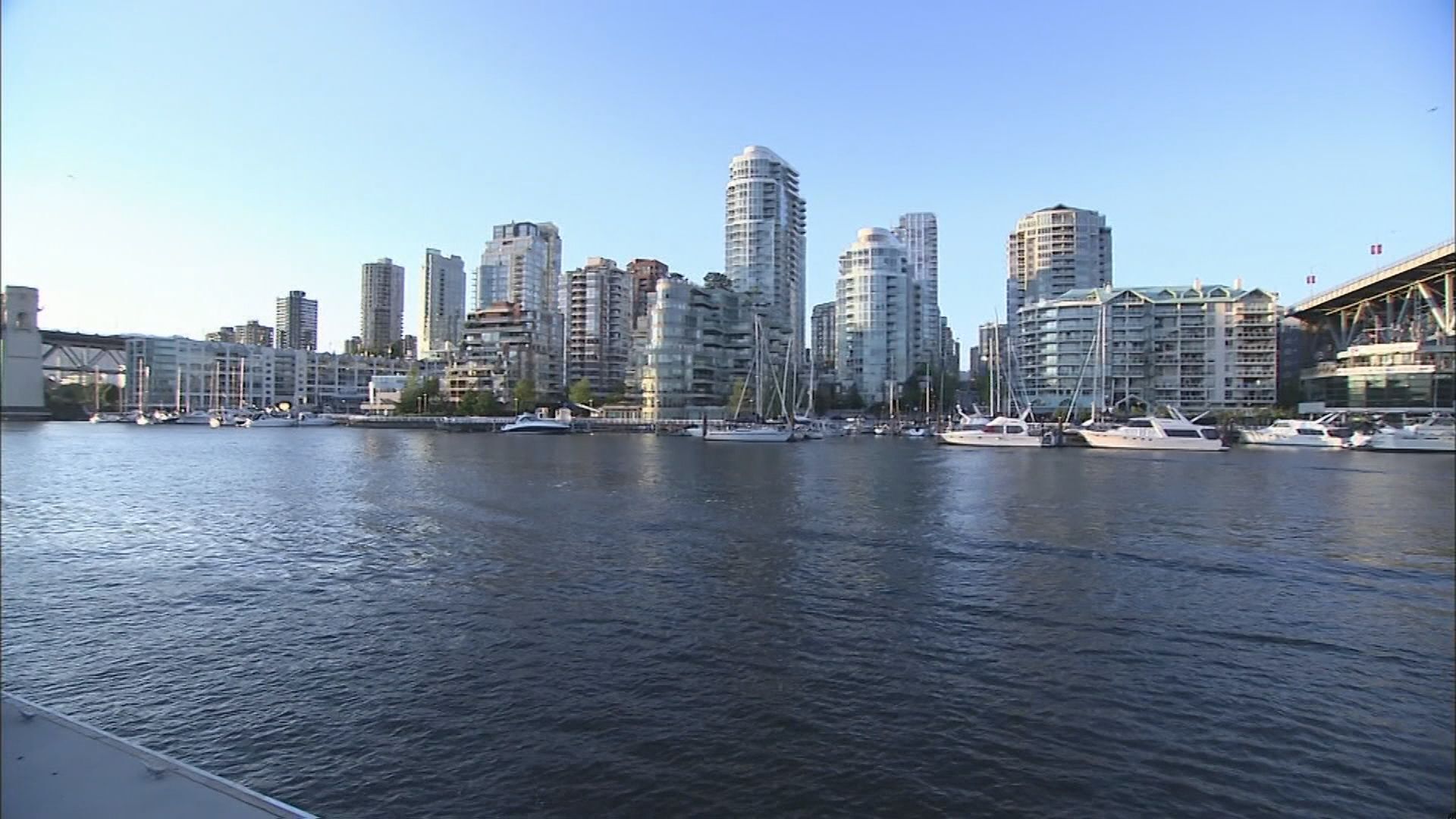
A mini heatwave is on its way to Metro Vancouver and the Lower Mainland. Temperatures are expected to top 30 degrees. (CityNews Image)
This heat won’t be as bad as the deadly heat dome of 2021, but Kuss says the temperatures we’re expecting are pretty high, given that it’s early May.
“Will this be a record-setting heatwave? Well, we’ll be up there. But the records, for example, for Abbotsford from now until all the way through to the weekend and into early next week, are for the most part, 30 degrees to 32 or 33 degrees. So, the heat isn’t unprecedented but it’s up there in the record range.” explained Kuss.
Related Articles:
-
Turn up the A/C: Metro Vancouver set for summer-like temperatures
-
Air quality advisories issued for Northern B.C. as Alberta wildfire smoke drifts west
-
More spring flooding, early-season wildfires could hit B.C.
However, the high temperatures are just one part of this heatwave — there are other concerns that are brought on when the weather warms up.
“With this extended stretch of heat and dry weather, the initial concern is excessive snowmelt and run-off. The secondary concern, which is already in place, but will continue to amp up, is the fire danger with tinder dry conditions already, and no moisture in sight in a widespread way over, at least, the next seven to 14 days,” Kuss said.
What you can expect in the short-term is Environment and Climate Change Canada (ECCC) issuing a special weather statement as cooling centres across the region open their doors. Extended hours are likely for those vulnerable who are seeking some cooler air.
The upside to the heat is you can begin to prepare for it now. You still have time to get an extra fan or, ideally, purchase an air conditioner ahead of what’s also expected to be a hot summer.
Drink lots of water, not alcohol, and stay inside during peak hours when it’s sunny — the afternoon. Keep your curtains or blinds closed during the day, but open the windows to let in cool air at night, and try to regulate your body temperature by taking a short cool shower or sticking your feet in an ice bath.
Heat plans for cities across the Lower Mainland:
- City of Abbotsford
- City of Burnaby
- City of Chilliwack
- City of Coquitlam
- City of Maple Ridge
- City of New Westminster
- City of North Vancouver
- District of North Vancouver
- City of Port Coquitlam
- City of Port Moody
- City of Pitt Meadows
- City of Richmond
- City of Surrey
- City of Vancouver
- District of West Vancouver