Here comes the heat! Lower Mainland could feel like 30 C
Posted June 6, 2023 11:56 am.
Last Updated June 6, 2023 1:22 pm.
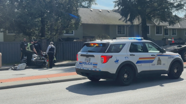
Time to get out your fans again. Another mini-heatwave is covering much of B.C. and temperatures in the Lower Mainland are expected to feel like 30° C in some areas.
Here comes the heat. Temperatures climbing to near 30 today and Wednesday. Stays warm overnight too so for those of us without AC it’ll be a somewhat uncomfortable sleep. @CityNewsVAN pic.twitter.com/Hk6r4IWQmW
— Michael Kuss (@Kusswx) June 6, 2023
CityNews Meteorologist Michael Kuss says the heat won’t necessarily be record-setting, and not because it won’t be hot.
“The records away from the shore across the Lower Mainland are 33 to 35 degrees today. And tomorrow it’s going to be equally as hot but the records are lower, so, tomorrow is a better chance to set some new marks,” he said.
Related Articles:
-
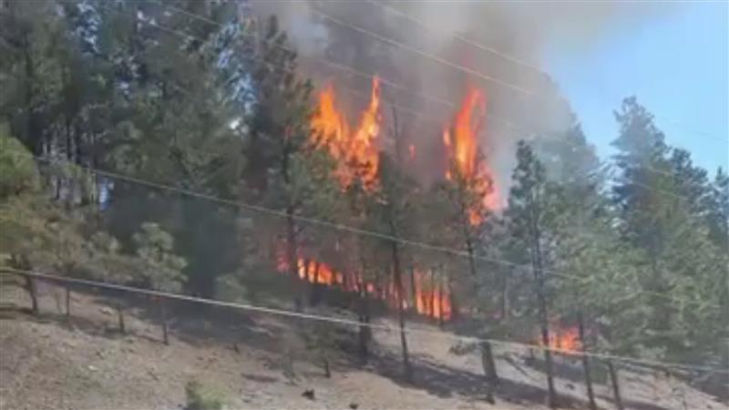
Is B.C. in for a bad wildfire season?
-
B.C. mom warns others after baby gets ‘margarita burn’ after sun exposure
-
Wildfire smoke on the way to the Lower Mainland
While it’ll be hot, conditions over the next few days won’t be as hot or long-lasting as originally thought.
“Now, this was initially looking like a three-day blast of relatively extreme heat with temperatures away from the shoreline soaring up toward 30 degrees, but now it looks like we’ll be sealed off from that more extreme air that slides up from the south out of New Mexico, Arizona, and Nevada and pushes up into southern B.C.
“We’ll have it today. We get it again on Wednesday, where we start to see a low developing across Washington and eventually into southern B.C. on Thursday. And that drops the temperatures for the South Coast.”
But Kuss says it’s not just the daytime temperatures that will be a bit uncomfortable — it might be a bit of a sweaty sleep for some.
“The overnight lows tonight, tomorrow night, and heading in fact even into Saturday morning, we’ll have temperatures through the overnights of 14, 15 degrees and that’s only for a short period of time. So, really not cooling off in the evenings or overnights.”
The mini-heatwave comes as much of B.C. has gone more than a month without significant rainfall. The last time rain was recorded in the Lower Mainland was May 5, and the parched ground has made way for an increase in fire danger across much of the province.