More snow possible for the Lower Mainland
Posted December 14, 2022 8:58 am.
Last Updated December 14, 2022 3:51 pm.
A blast of wintery air is on its way to B.C.’s South Coast, and with it, the possibility of a lot of snow.
But as CityNews Meteorologist Michael Kuss explains, the amount of snow the region will see, and when, is just too early to call.
“There is lots of talk about arctic air for next week and snow potentially this weekend and next week, but there’s lots of uncertainty in there too,” he said.
“What we do know at this point is arctic air is going to come down into Alberta, push out toward the coast, most of B.C. will be blanketed in it. What we don’t know is if that arctic air makes it all the way out to the coast. Second factor is snow related to that cold air — there’s only a very weak system approaching the coast that could bring the potential for snow both on the weekend and early next week.”
Related Articles:
-
Arctic chill persists in B.C.’s Central and North Coasts this weekend
-
Vancouver experienced coldest Dec. 2 on Friday in close to 70 years
-
Delta mayor calls for emergency alert for snow
Kuss says the forecasting for snow and arctic air for the South Coast is like a “spaghetti plot” of models like you see for hurricanes.
“There’s a lot of uncertainty out there. We could see as little as nothing at all, and temperatures still hovering a little bit above freezing, and early next week to minus five, minus six for daytime highs and as much as 20 centimeters of snow, but it’s way too early to go out on a limb and say we’re going to see 20 centimeters of snow. And the possibility of freezing rain, although it’s in some forecast models, some don’t have anything at all.”
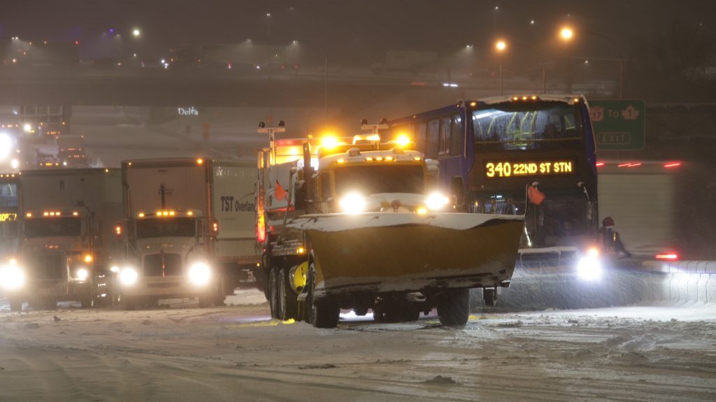
The possibility of more snow is bringing people back to the horrors of earlier this month, when many were stuck on the Alex Fraser Bridge and major highways in the Lower Mainland for hours because of snow and ice.
“Anytime we have the possibility of snow and arctic air on the South Coast, even if its way out in the forecast future, it’s worth noting and it gets people talking but there’s just so much uncertainty around the possibility of the precipitation,” Kuss said.
–With files from Dean Recksiedler