Metro Vancouver under special weather statement, snow in the forecast
Posted February 20, 2023 6:50 am.
Last Updated February 20, 2023 6:51 am.
Usually, at this time of year, the temperature slowly starts rising as we get ready to welcome spring in a month — but that’s not the case this year.
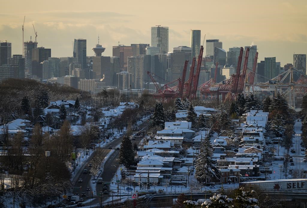
We’re in for some really cold weather which could include snow, depending on where you live. Don’t worry, the snowfall is not expected to be anything like what we saw in December when the Lower Mainland was pelted with three back-to-back storms over the span of a week.
CityNews Meteorologist Carl Lam says these aren’t normal temperatures for this time of year. He adds that a blast of cold air will set in by Tuesday night and last for a while.
“Our daytime high temperatures on Wednesday, Thursday, and Friday are all at plus 1 C and we do have the chance for some snow showers on Wednesday. It’s pretty light in nature, some of the steadier snow will be for eastern portions of Vancouver Island and then it looks like it’s dry for Thursday and for Friday, but it doesn’t look like we’re getting into a big warm-up until after the weekend.”
Related Articles:
-
Coquihalla Highway winter storm warning
-
North Shore mountains looking good for Family Day skiing, snow in forecast
-
Demand for air conditioners in Metro Vancouver heats up during winter months
Lam says the temperatures we’re in store for are well below average with some areas not expected to make it above the freezing mark.
“I hope you didn’t pack the winter gear too far away because we’re getting into some pretty cold air for the next few days,” adds Lam.
For Family Day Monday, there’s a lot of rain in store, and Environment and Climate Change Canada (ECCC) has issued a special weather statement calling for strong wind.
“A low-pressure system will move from the Gulf of Alaska into central B.C. today. Gusty southwesterly winds will develop this evening in Metro Vancouver and the southern Gulf Islands. The strongest wind gusts are expected near the Strait of Georgia. These wind gusts may cause tree branches to break and lead to possible power outages. Winds will ease Tuesday morning as the system moves further inland,” says the national agency in a statement.
As the temperatures dip, look for local cities to open shelter spaces and warming centres.
Meanwhile, be careful if you’re driving on any of the out-of-town highways.
.@environmentca Alerts for Mon, Feb 20, 2023.
10-20 cm #BCHwy16 #BCHwy37 #BCHwy97
50 mm rain #BCHwy1
70-100 km/s wind #YYJ
Click for map: https://t.co/9ChPYmC4BK
(11:50 PM PST 2023:03:20)#BCStorm #KnowBeforeYouGo CHECK https://t.co/GKENZmf4E7 pic.twitter.com/BQ7VuqXeZu— DriveBC (@DriveBC) February 20, 2023
There’s already a lot of snow on the Coquihalla Highway, among others.
Listen live to CityNews 1130 every 10 minutes on the ones for any major traffic updates. You can also follow us on Twitter @CityNewsTraffic or subscribe to breaking news alerts sent directly to your inbox.
Spring, for anyone who’s counting, is just 28 days away.