Metro Vancouver forecast could bring snow Wednesday with freezing temps
Posted February 22, 2023 9:02 am.
Last Updated February 22, 2023 2:23 pm.
While there’s no widespread snow in the forecast just yet, according to CityNews Meteorologist Michael Kuss, there’s still a chance Metro Vancouver will see some flurries Wednesday.
He says it’s certainly cold enough in the region for snow to fall.
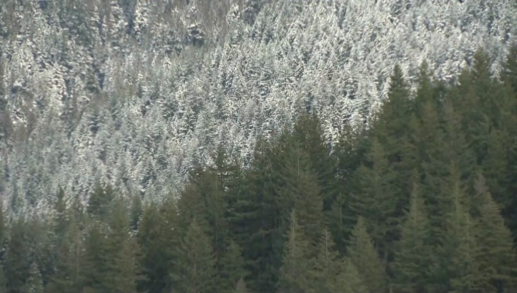
“We’re seeing some of that light snow up over the Sunshine Coast, the east side of the Island — Nanaimo down to Duncan — and then stretching into the Capital Region. Most of that snow … will be farther to the west, just grazing the coast of Metro Vancouver so we’re watching out for that, especially in the afternoon,” he said.
A few breaks this morning. Cold with fresh snow @grousemountain. It's -8 up there right now. A few flurries into the afternoon. Cold outflow winds for Fraser Valley and S. Metro Vancouver today. #Winter @CityNewsVAN pic.twitter.com/Ftcqkz9jOx
— Michael Kuss (@Kusswx) February 22, 2023
While Metro Vancouver saw a high of around 3 C early Wednesday morning, the temperatures will hover around freezing for most of the day.
Because of the cold, Kuss says snow is now falling south of the border, too.
“We could see that wave that’s in Mount Vernon cycled north, and south over Anacortes as well, and push up into the Lower Mainland, especially along the coast as it wraps around the low out over the Washington coast,” he explained.
Related Articles:
-
Metro Vancouver under special weather statement, snow in the forecast
-
North Shore mountains looking good for Family Day skiing, snow in forecast
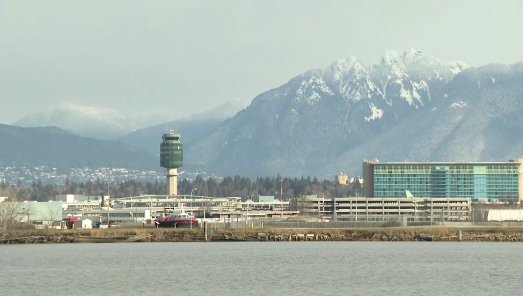
Some snow has fallen in Metro Vancouver already, with Burnaby Mountain and SFU, parts of Surrey, and areas of New Westminster seeing some flurries.
“Today, it’s barely above freezing, if we even get there. [It’s] likely not climbing to zero out in the Fraser Valley from Abbotsford to the east, with the Arctic outflow winds now gusting into the 60 [km/h] and that’s giving wind chills of -10 C to minus -12 C,” he said Wednesday.
We could see 2 cm of snow in #Vancouver later today. Our crews are out brining priority routes https://t.co/RWvuBkfBsy
Get home safe:
Slow down and drive for the conditions
Watch for pedestrians and cyclists pic.twitter.com/l3ZxECI7fo— City of Vancouver (@CityofVancouver) February 22, 2023
The City of Vancouver says it is preparing for snow to fall in the city Wednesday, and has deployed road crews to brine priority transit routes.
The city is reminding drivers to slow down and drive to the conditions, and to keep a watch out for pedestrians and cyclists on slippery roads.
Parts of B.C., including the central and southern Interior, are expected to see frigid temperatures around -30 C to -40 C Wednesday night into Thursday.