Special weather statement for Metro Vancouver issued Saturday; flooding, landslides, power outages possible
Posted January 27, 2024 10:53 am.
Last Updated January 27, 2024 10:56 am.
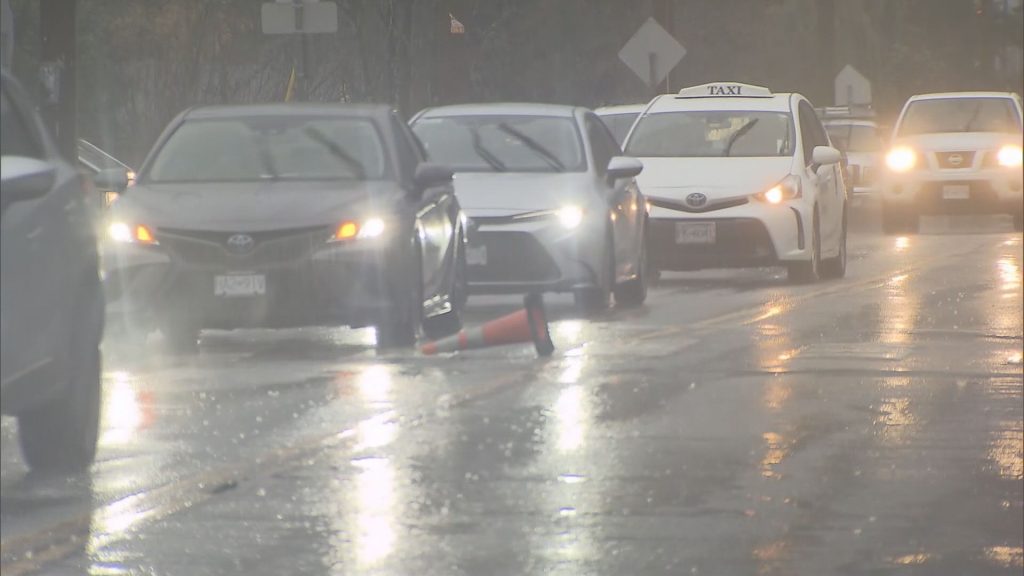
Environment Canada issued a special weather statement for Metro Vancouver and surrounding areas Saturday morning, saying incoming storms will increase the potential for flooding, water pooling on roads, power outages, and possible landslides.
The statement applies to Metro Vancouver, the Sunshine Coast, and parts of Vancouver Island.
Environment Canada meteorologist Armel Castellan says residents should expect “long duration” rainfall events Saturday and Sunday.
Castellan says although it won’t be as bad as the recording-breaking 2021 floods that washed away bridges and prompted landslides that killed five people, people still need to stay away from fast-moving rivers this time.
The weather service says it isn’t sure where the worst of the storm will be felt or exactly when the heaviest rains will fall.
“The heaviest rainfall is expected to occur between Sunday night and Monday,” the statement says. “There will be periods of lighter rain between the storms, but it is the cumulative effects of the storms that is likely to be impactful.”
The storms are bringing warmer temperatures, and mountain snow melt is contributing to the flood risks. The weather service says vulnerable areas such as burn scars are particularly vulnerable to landslides due to heavy rain falling on surfaces that are already saturated.
Strong winds will mean an increased risk for power outages due to the potential of falling tree branches.
Meanwhile, a flood watch issued by B.C.’s River Forecast Centre Thursday remains in place as rain pounds the South Coast Saturday.
The watch applies to the Sunshine Coast, Sea-to-Sky, North Shore mountains, Fraser Valley, and Vancouver Island.
On Friday, Environment Canada issued a rainfall warning for Metro Vancouver, including the North Shore, Coquitlam, Maple Ridge, and Howe Sound, saying a total of 60 to 90 millimetres of rain is expected to fall between Friday evening and Saturday overnight.
The River Forecast Centre says between Saturday and Wednesday, a series of “potent” storms is expected. Up to 250 mm of rain could fall during that time in Metro Vancouver, with some localized areas having the potential to receive up to 400 mm.
“Current forecasting is indicating the strongest atmospheric river event making landfall on Monday, with the potential for additional rainfall in the middle of next week,” the River Forecast Centre said in a news release Thursday. “The heaviest rainfall is currently forecast over West Vancouver Island and the Coast Mountains.”
