‘Wintry mix’ of snow, rain on the way to the Lower Mainland
Posted February 26, 2024 8:06 am.
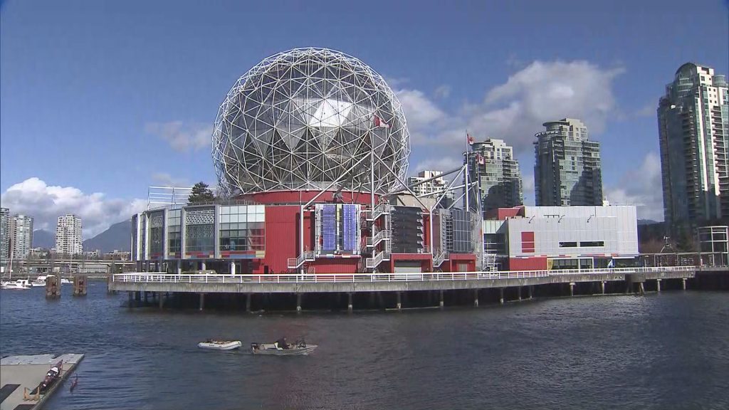
It might be a good idea to prepare to leave work early Tuesday if you’re driving along some Lower Mainland highways.
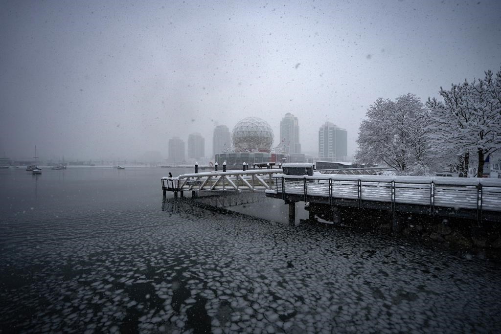
Environment and Climate Change Canada issued a weather alert Monday, explaining a “wintry mix of precipitation” is expected to hit Metro Vancouver, the Fraser Valley and the Sea to Sky region come Tuesday evening through Wednesday.
CityNews Meteorologist Michael Kuss believes the snow will be “shortlived,” while the ECCC says it may “potentially impact the Tuesday evening commute.”
“For most regions except Whistler and the Sea to Sky Highway, snow levels will be hovering near the surface, and precipitation will start as rain mixed with snow Tuesday evening. Snowfall accumulations are expected to vary greatly with elevation and proximity to the water.
“With a warming southwesterly flow aloft, snow levels will rise overnight resulting in mixed precipitation changing to moderate to heavy rain late Tuesday night or early Wednesday. During this transition, there is also a risk of freezing rain over the Fraser Valley as warm air overrides the cold air in the valley.”
The weather service says moderate to heavy precipitation will ease late Wednesday as the front moves through the region.