Atmospheric river brings isolated flooding to Lower Mainland; mountain passes blanketed with snow
Posted December 18, 2024 6:47 am.
Last Updated December 18, 2024 6:48 am.
After an overnight storm, a rainfall warning remains in place for much of the Lower Mainland Wednesday morning.
1130 NewsRadio meteorologist Michael Kuss says while the steady rain is coming to an end, scattered showers will linger around until daybreak.
“We saw between 20 and 25 millimetres in a widespread way across the Lower Mainland, 30 plus on the North Shore — that was to midnight, with another 10 to 25 from midnight to 4 a.m. for a lot of locations,” Kuss explained.
CLICK HERE TO LISTEN TO 1130 NEWSRADIO VANCOUVER LIVE!“This is a 50-millimetre plus event.”
But as the rain tapers off, wind gusts are set to pick up.
“With all that moisture, saturated ground, and potentially unstable conditions, we could see trees down, with winds gusting to 60-70 kilometres per hour through the early morning hours. In fact, all the way to about 9 or 10 a.m., we’ll likely see strong and gusty winds,” Kuss explained.
The chance of some coastal flooding could also occur with those winds, he adds.
“We’re expecting the winds to shift direction and pick up along exposed areas on the coast. … With the wave action, that could result in some coastal flooding.”
The overnight rainfall brought flooding to isolated areas across the Lower Mainland.
Those areas include King George Boulevard at 66 Avenue in Surrey, parts of the Barnett Highway in Burnaby, and isolated parts of Vancouver.
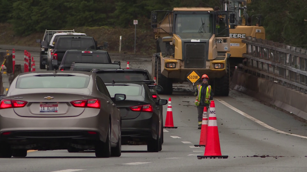
Roads, highways a mess as storm bring heavy snow, freezing rain
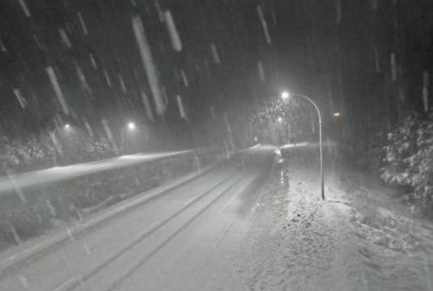
Meanwhile, Environment and Climate Change Canada has also issued a number of snowfall and winter storm warnings for some B.C. highways.
ECCC says winter storm conditions are in the forecast for the Sea to Sky Highway from Squamish to Whistler, the Coquihalla Highway 5 from Hope to Merritt, and Highway 3 between Grand Forks and Creston.
Up to 40 centimetres of snow is expected to fall in areas further inland, while coastal areas could see freezing rain, ECCC explains.
Heavy snowfall is also expected between Highway 3 between Hope and Princeton, on the Okanagan Connector 97C, and Highway 1 from Sicamous to Golden.
Kuss explains that while the forecast is calling for a lot of snow, he believes it could be a “mixed bag of precipitation.”
“I would not be shocked, the roads are wet and potentially with those temps hovering around freezing and the warm air rising, that we see freezing rain. It’s certainly a concern for those mountain passes,” he explained.
“Watch out for that … before things warm up. And things will warm up as this rain slides through and then cool down. So eventually into the afternoon, evening and overnight, it’s going to get slippery,” he added.
Listen live to 1130 NewsRadio Vancouver weather updates every 10 minutes after traffic on the ones. You can also follow Meteorologist Michael Kuss on X and subscribe to breaking news alerts sent directly to your inbox.

