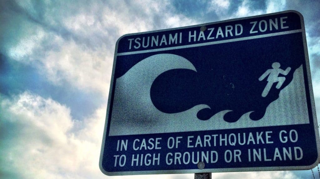
Tsunami would hit B.C. within minutes if big quake hits: experts
Posted May 9, 2023 7:16 am.
Last Updated May 9, 2023 7:17 am.
Anyone who’s lived in B.C. has long been warned of the “The Big One” and the potentially catastrophic damage it would cause across this province.
New research from Ocean Networks Canada (ONC) is shedding light on how quickly things would escalate in the event of a powerful earthquake followed by a tsunami.
Researchers with the organization say it would take mere minutes for waves to start crashing down on some communities. It’s basing its work on if a magnitude 9.0 earthquake hit the coast. The experts found within 20 minutes, Northwest Vancouver Island would get an initial wave of about six feet, followed by run-ups on land that could hit about 40 feet.
")
(Graphic Courtesy Ocean Networks Canada)
“The tsunami current speeds will exceed 1.5 metres per second in several regions, which will be hazardous for mariners and boaters, in particular in shallow water regions and narrow passages in the case of both Cascadia and Alaska tsunami,” the study found.
A second study on this topic, also carried out by ONC, found a quake of similar size in the Cascadia zone would reach Boundary Bay in about three hours, but the wave heights would be much lower, at just a few feet.
“The Alaska-Aleutian subduction zone is of interest due to the 1964 Alaska earthquake resulting in record tsunami waves hitting the B.C. coast. A tsunami triggered by a megathrust earthquake from this source would have significant impact in Prince Rupert and Haida Gwaii, with respective arrival times of 2.5 and 3.5 hours,” said ONC in its online report.
Related Articles:
-
Vancouver Island earthquake hits late Thursday night
-
Provincial officials to simulate large-scale earthquake in training exercise
-
B.C. commits $180M increase to emergency preparedness, climate change readiness
Researchers figured out the timing by using a combination of mapping, Indigenous knowledge, and historical records, among a few other things.
“These ‘boots on the ground’ tsunami experiences provide insights into the location, extent of damage, and evacuation routes for past tsunamis, and the adaptation measures that exist today as a result,” said Indigenous Community Liaison Pieter Romer.
OCN isn’t trying to create panic but their research is looking to help nail down emergency planning if or when a big shaker hits.
 to above 7 metres (blue). (Courtesy Ocean Networks Canada)")
Maximum wave height for a Cascadia-generated tsunami in Esperanza Inlet and Nootka Sound as determined by the Northwest Vancouver Island Tsunami Risk Assessment Study. Colours show wave height from 0 metres (white) to above 7 metres (blue). (Courtesy Ocean Networks Canada)
“Knowing where coastal vulnerabilities lie and the predicted areas at risk strengthens hazard awareness, allowing decision-makers and communities to mitigate, prepare, respond, and recover from emergencies,” said Soroush Kouhi, an ONC Applied Science Specialist and co-author of the studies.
Communities along B.C.’s coast are vulnerable because it is one of the world’s most seismically active zones, which is capable of producing so-called megathrust earthquakes — a tremor that would be at least a magnitude 8.0 or higher.